StoryMaps
What Is A StoryMap?
ArcGIS StoryMaps allows users to bring together maps, narrative, and multimedia into a cohesive digital experience. Designed for beginners as well as experienced users, StoryMaps allows you to combine interactive maps with images, video, text, and other media to communicate research in a clear, compelling format. Whether you are tracing migration patterns in history, illustrating environmental change, examining public health data, exploring community demographics in sociology, or crafting a data-driven story for a capstone project, StoryMaps helps transform spatial analysis into meaningful storytelling. Because it is web-based and intuitive, it works well for both classroom assignments and public-facing scholarship. The library provides access through ArcGIS Online and a consultation with an instructional technologist can help you think through project design, structure, and presentation as well as acquaint you with the software’s many features.
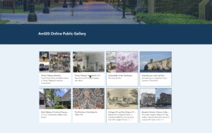
Rather than describe what StoryMaps are further, we encourage you to check out some of these examples and set up a meeting with an instructional technologist to see how easy it can be to make a polished StoryMap.
Check Out the ESRI Project Gallery
Trinity College examples can be found on the homepage when you log into your ArcGIS account. For information on how to get an account, visit this page.